Walking Routes - ALBANCHEZ and LIJAR
Here's some of the walking routes we hike, around the area of Albanchez and Lijar. New routes are often found,
join the WalkTall Walking Group to enjoy them!
Scroll down to see the reviews given by members of the group.
Walking routes in and around Albanchez and Lijar
ALBANCHEZ - Picnic Route
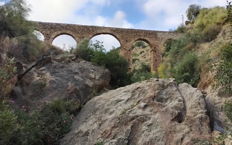
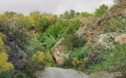
A figure of eight walk that showcases Albanchez from afar, from various angles, before finishing the walk through the heart of it. Taking in the delights of Los Canos Fountain; Los Arcos Recreational Area; Roman aqueduct; and the Cross of Calvary; Albanchez Square; Town Hall; and Parish Church; (Fuente Los Canos; Area Recreativa Los Arcos; Acueducto Romano; cruz del calvario; Plaza; Ayuntamiento de Albanchez and Iglesia Parroquial)
Mileage - 8 km / 5 miles
Terrain - Rambla (loose rocky underfoot) and quiet roads
Time - 2.5 hours + refreshment stop time at the picnic area
Elevation gain uphill - 472 ft (Max elevation 1,778ft)
LIJAR -
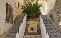
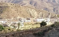
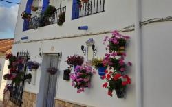
Do not be fooled by the 3 miles - This is a tough walk for anyone with mobility issues. A circular walk that showcases Lijar from afar, before walking through the heart of it. Taking in the delights of the viewpoint of Mirador de Las Huertecicas at the start, before heading down quite a steep path, joining the rambla Lijar. The route taken can be quite muddy and wet, so be cautious, and wear appropriate footwear. You will see the old laundry area Lavadero Líjar, which you can walk through, before heading UPWARD to the historical landmark of Barrio Del Castillo with narrow streets that ascend between the whitewashed houses from the river to the castle, showcasing their Arabic heritage. This area is steep! You can visit the Parish Church Iglesia Parroquial de Santa María which was built in the mid 1500's (this was constructed with 3 ships and sidewalls of lime and stone, until a reconstruction on the 1900's due to floods). Then there's the Castle Castillo de Líjar which was built in the 21st century, with some impressive steps leading up to it, and amazing views. During the Al-Andalus period, also called Muslim Spain. Mining disappeared and agriculture took over for the town of Lijar. During the middle to late twentieth century, Líjar had 25 looms for the manufacture of linen and hemp fabrics. Now, most of the agricultural activity here is for self-consumption. Líjar has twelve marble farms, which helps economically
Mileage - 5 km /3 miles
Terrain - Steep up and down, dry rambla, wet and muddy rambla, road
Elevation gain uphill - 550ft (Max elevation 2230ft)
Time - Give yourself 1.5hrs + refreshment stop time